

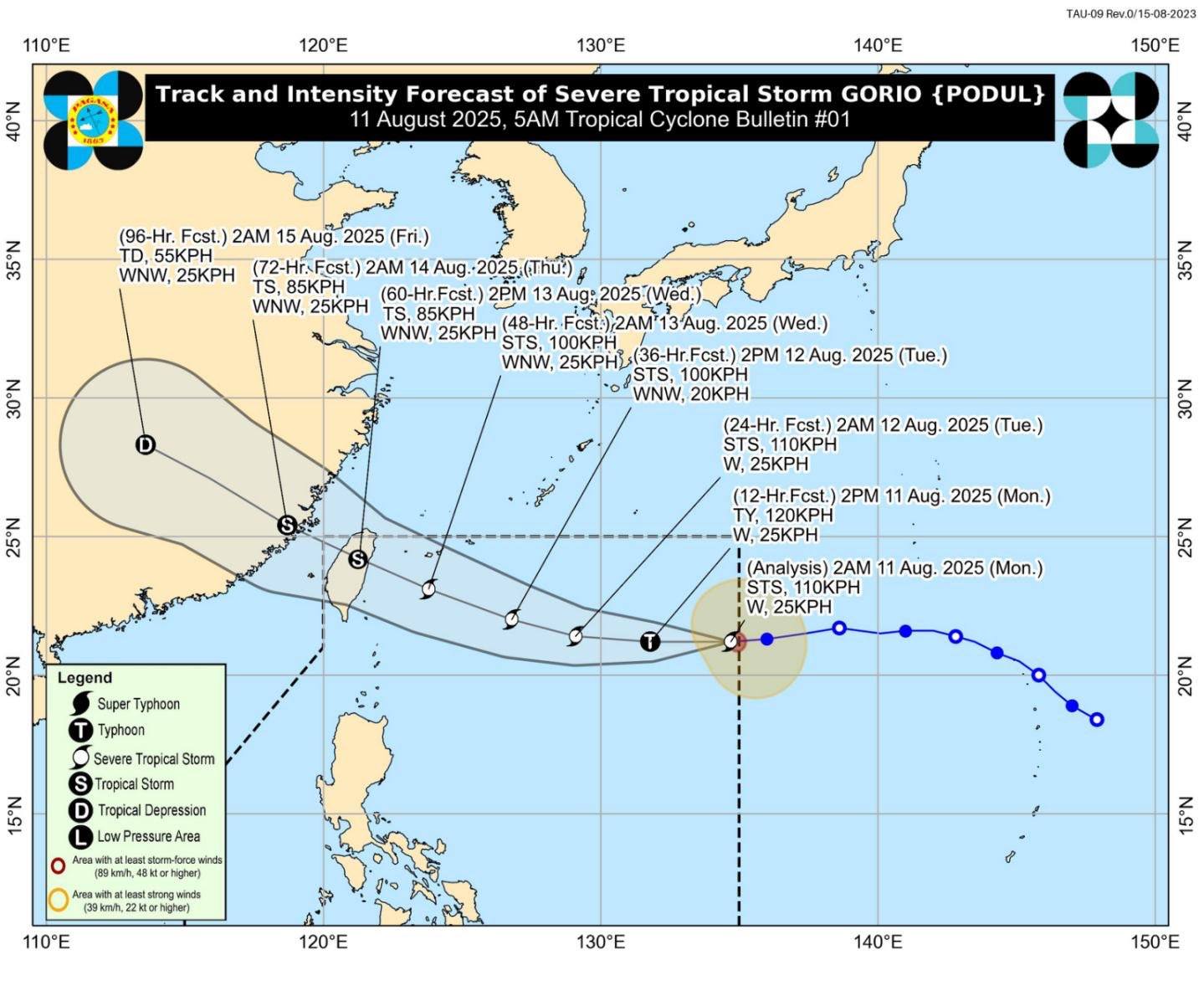
MANILA — Tropical Cyclone Gorio (international name Podul) has intensified into a typhoon, the Philippine Atmospheric, Geophysical and Astronomical Services Administration (PAGASA) reported on Tuesday. Despite its strengthening, the weather bureau assured the public that the system is unlikely to make landfall in the Philippines.
As of 4 a.m., Gorio’s center was estimated at 745 kilometers east of Itbayat, Batanes, packing maximum sustained winds of 120 kilometers per hour (km/h) near the center and gustiness of up to 150 km/h. The typhoon is moving westward at 25 km/h across the Philippine Sea, with storm-force winds extending outward up to 310 kilometers from its center.
Weather models show Gorio will continue to track toward the northwestern boundary of the Philippine Area of Responsibility (PAR), pass close to eastern Taiwan by Wednesday afternoon, and exit PAR by Wednesday evening.
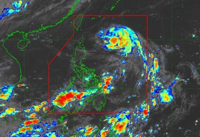
Although the storm will not directly affect much of the country, PAGASA has warned of rough to very rough seas over northern coastal waters. Small vessels, fishing boats, and motorized bancas are advised to remain in port until conditions improve.
Meanwhile, the southwest monsoon (Habagat)—enhanced by the typhoon’s circulation—is expected to bring scattered rain showers and thunderstorms over Mimaropa, Western Visayas, Negros Island Region, and the Zamboanga Peninsula. The rest of the country may still experience isolated downpours due to localized thunderstorms, particularly in the afternoon or evening.
PAGASA reminded the public to stay alert for possible flooding or landslides in areas with prolonged or heavy rainfall, even if these are far from the typhoon’s direct path.